Footpaths in & around North Molton
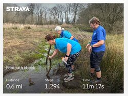
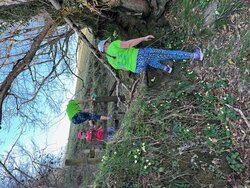
North Molton has a small network of footpaths of various lengths, overseen by out Footpath Warden, Steph Harris. If you wish to contact Steph, please do so via the Parish Clerk clerk@northmoltonparish.gov.uk When walking or riding, please remember that you are mostly on private land and should follow the Countryside Code, and especially be aware of animals and crops.
Additional information, including downloadable circular walking routes, can be found under Parish News – choose the Footpaths tag.
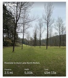
Riverside - Marsh Lane - Dure Lane
2.59 miles
- Part road and part track including fields and woods
- Pretty walk with bluebells in season
- Can be combined with the Limeslake - Holdridge Woods path for a longer route
Start: parkland.affirming.swooned
End: signified.honeybees.blessed
Limeslake - Holdridge Woods
0.66 miles
- Terrain includes road, track, woods and fields, so can be wet
Start: contoured.city.ushering
End: baseline.defrost.fooling
New Road - South Leigh
1.0 miles
- Fields and woods terrain
- Fairly steep in certain places
- Access to the footpath is via a busy road
Start: bill.results.chainsaw
End: widely.drank.stowing
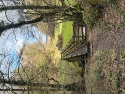
Paunsley - Pitt Lane
1.18 miles
- 4 fields, plus track and road
- Small bridge beisde a stile with 2 obstacles to climb (a dog would need to be lifted over)
- Electric fence adjacent to the stile
Start: briefer.croutons.detergent
End: backward.marriage.perfectly
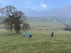
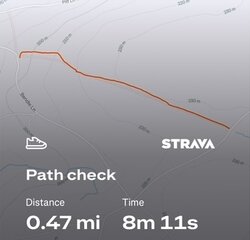
Pitt Lane - Lambscombe
0.47 miles
- Requires walking across several fields
Start: surfer.village.awakening
End: typist.wages.typed
Heasley Mill - Crowbarn Woods
0.13 miles
- Steep, stony gulley in the woods
Start: twice.presuming.explained
End: king.finalists.lofts
Mines Bridge - Barham Bridge
0.7 miles
- Fields and woods adjacent to the river
- Several stiles, not all dog friendly
- Pretty valley with bluebells in season
Start: hires.duration.tinned
End: common.obstinate.ending
Bentwichen - Long Ford
0.48 miles
- Path across horse-occupied field
- Long Ford bridge area can be very boggy and wet
Start: first.mavericks.visit
End: classics.tonal.crows
Holdridge Lane - Bicknor Bridge
1.1 miles
- Road/steep stony track
- Joins Riverside footpath at Bicknor Bridge
Start: frostbite.twists.winner
End: lighter.winter.blotchy
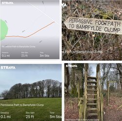
Permissive path to Bampfylde Clump
0.19 miles
- Short track off of the road and across a field to access Bampfylde Clump
Start & End: lion.collision.obey